Utility Mapping


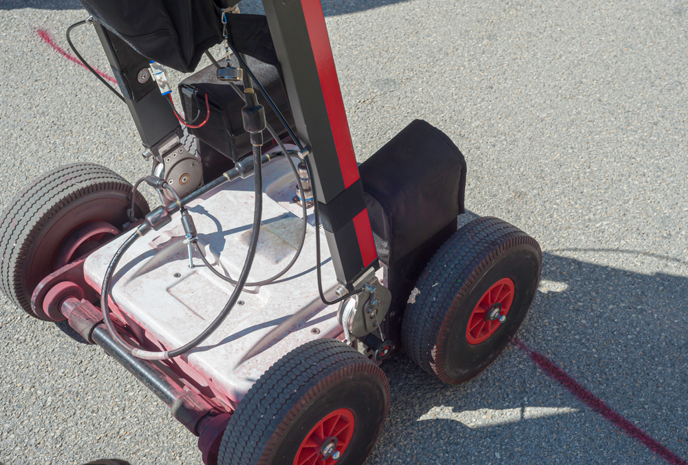
Using an array of Electromagnetic Location (EML) and Ground Penetrating Radar (GPR) technology & techniques we search for subsurface utilities and structures hidden underground.
Utility Detection & Mapping surveys are performed over a defined survey area capturing information such as electrical and communication cable routes, gas, water, fuel & drainage pipe routes along with manhole and inspection chamber location. We can also provide internal details, such as chamber and pipe materials, sizes, service type, duct configurations, invert levels and depths.
In accordance with PAS128:2014, known and unknown services are detected, marked, surveyed and sub categorized with a quality or confidence rating depending on the technique used and the quality of the information received. This process allows the presented data to be easily understood, allowing appropriate levels of risk to be applied and better-informed decisions be made based on the findings from site and the declared accuracies.
Our Utility Mapping surveys and data can be delivered and presented in 2D or 3D formats. In addition, we can deliver our Utility Mapping surveys into BIM.
To speak to our team about Subsurface mapping, PAS128, GPR & Utility surveys throughout the UK, contact us today!
Please contact us for further information.