Utility Mapping (5 day)


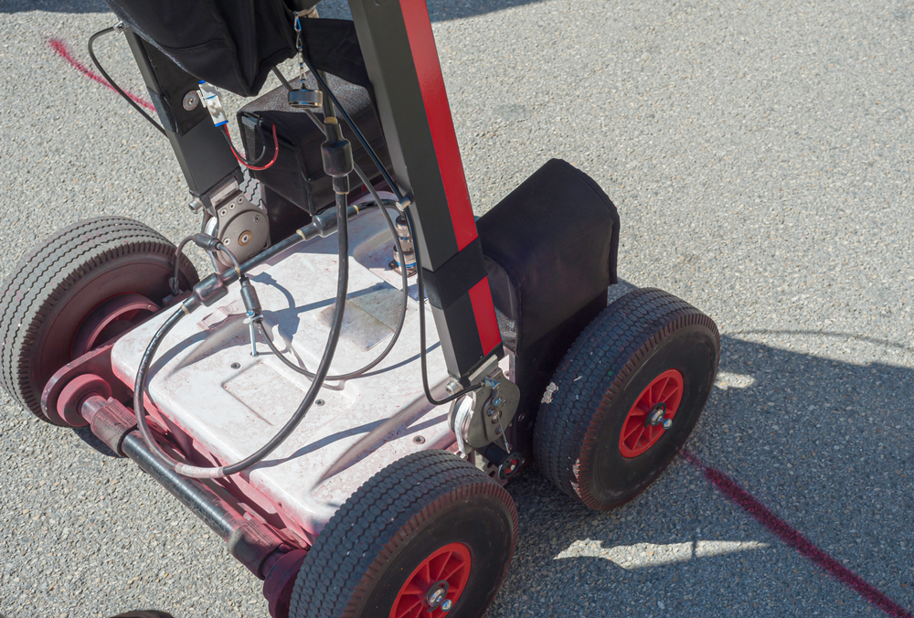
Surveyors, utility companies and contractors, need accurate, highly reliable, and up-to-date information about existing underground services. Understanding where buried services are is vital to both protect infrastructure assets and those who need to work on or near them. This is especially important where excavations take place. Using the latest technology, detecting underground features becomes a simple and efficient task that enables utility mapping surveyors to provide detailed drawings showing the location and depths of services.
Wolfwood Consulting run a 5 day course, to provide candidates with the knowledge and ability to undertake underground service detection and mapping in line with PAS 128.The course can be taken alongside the ProQual Level 3 Utility Mapping and Surveying qualification or as a standalone course.
Candidates will undertake both theory and practical training to ensure they fully understand how and why utility mapping is undertaken.
Summary of main topics covered by the course:
Written Exam – Operatives will sit a written exam under exam conditions. An overall pass mark of
70% is required to successfully complete the course.
Attendees can take the Level 3 certificate in Utility Mapping and Surveying (QCF) alongside this course.
The course costs £995 plus vat with an additional charge of £145 plus vat for those wanting to undertake the Level 3 certificate
Book your place or enquire about dates by emailing us at info@wolfwoodconsulting.co.uk
Once students have completed the course they will be provided with a certificate of attendance.
Wolfwood Consulting provide additional courses in cable detection aimed at groundworkers, landscapers, utilities contractors and anyone who needs to undertake excavations as part of their job. This is a ½ day or 1 day course that shows students how to locate buried services in the location of excavation. This course can be taken either at our centre, or our trainer can visit your site to deliver the course to up to 16 people. All candidates undertaking this course will be provided with a certificate of attendance for CAT and Genny.